Communes and valleys of the Puy Mary
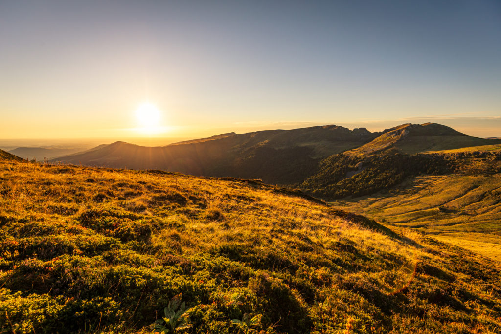
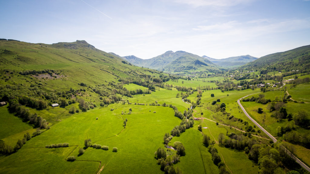
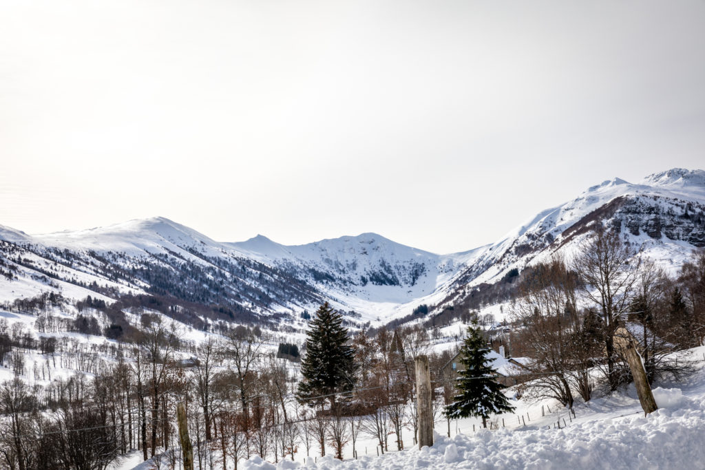
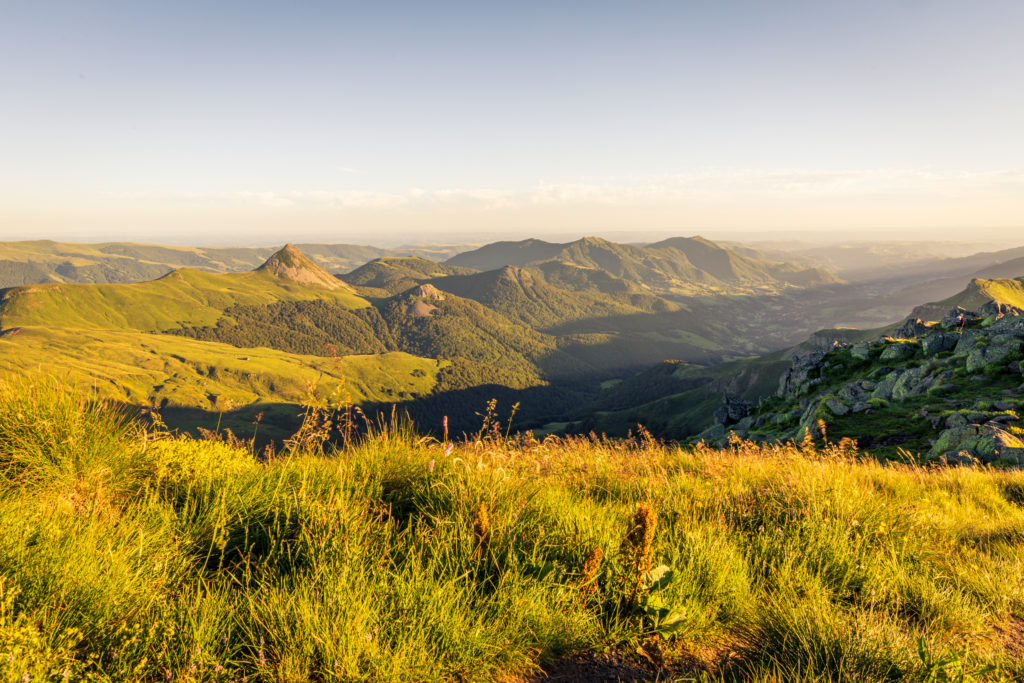
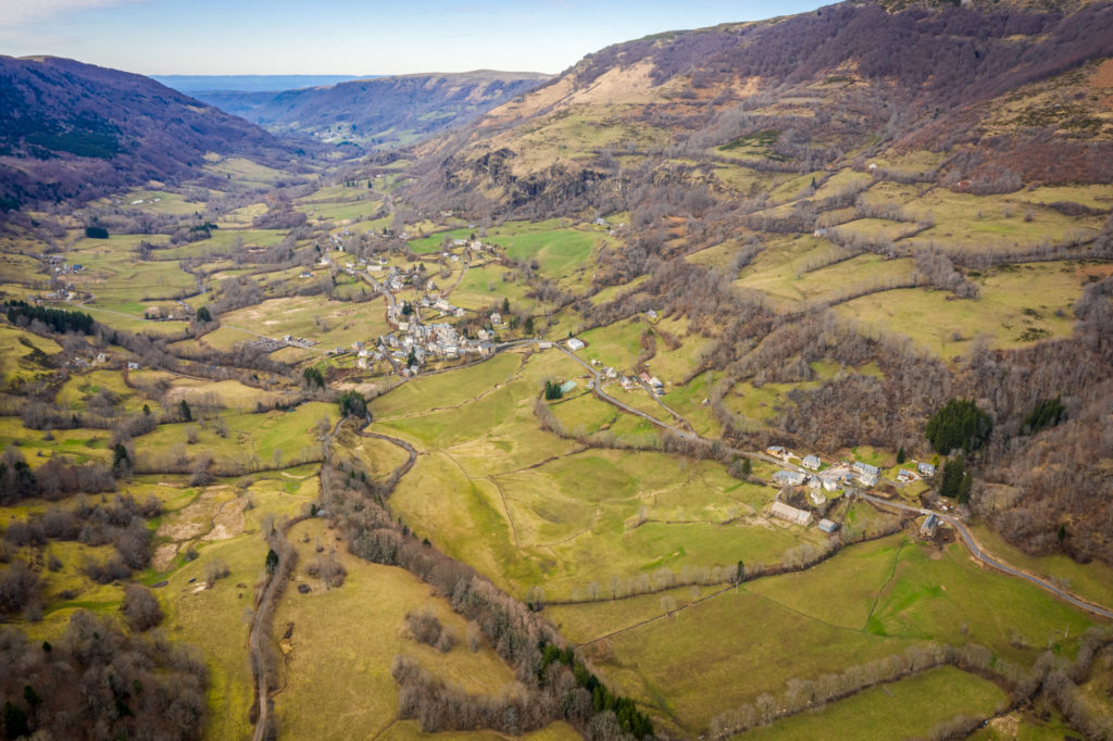
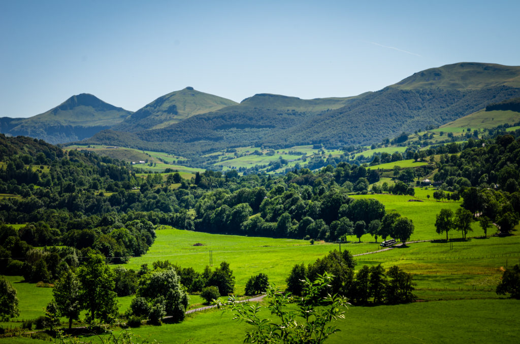
Like the branches of a star made up of the seven glacial valleys that radiate around Puy Mary, the valleys of the massif are in themselves an invitation to discover, to meet, to exchange, and to share. Set off to discover the glacial valleys and the communes of the Grand Site de France Puy Mary – Volcan du Cantal.
– Aspre, Bertrande and Maronne valleys (villages of Fau, of Saint-Paul-de-Salers, and of Saint-Projet-de-Salers)
– Impradine and Santoire alleys (villages of Dienne and of Lavigerie)
– Jordanne valley (villages of Lascelle, Mandailles-Saint-Julien, Saint Cirgues-de-Jordanne)
– Mars valley (villages of Falgoux, Saint-Vincent-de-Salers, Le Vaulmier)
– Petite Rhue valley (villages of Cheylade and of Claux)
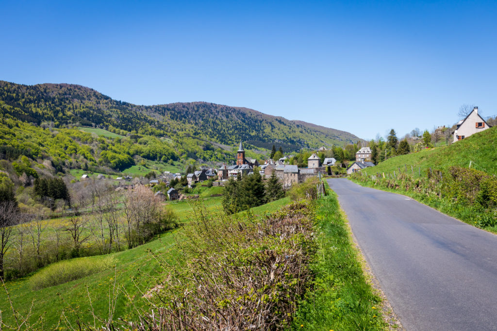
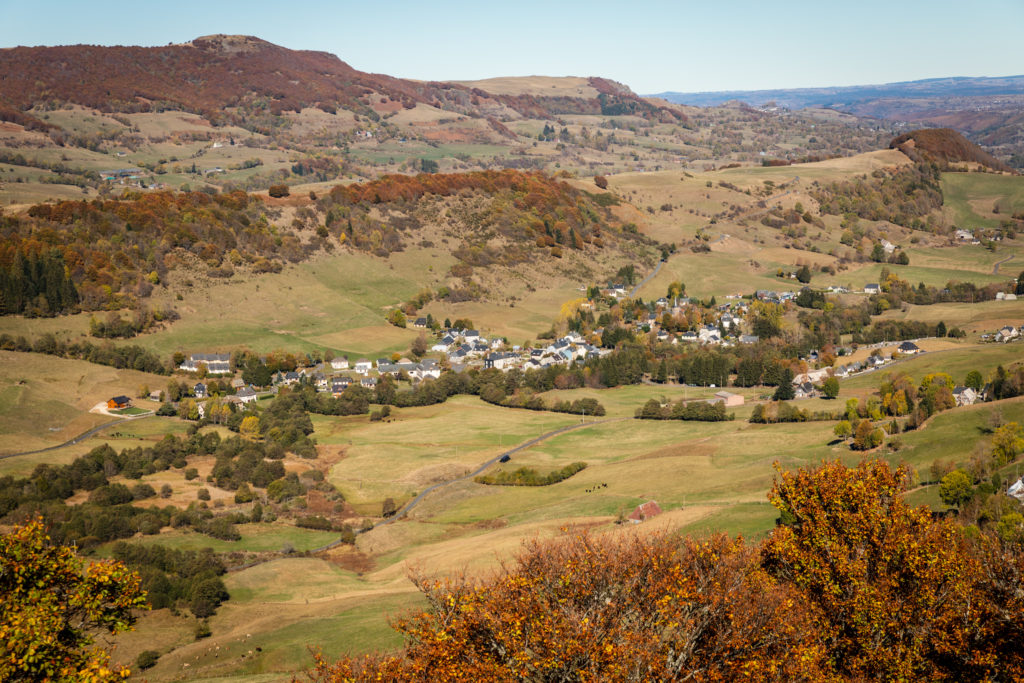
On the borders of this green setting, there are now about 2175 inhabitants on the perimeter of the Grand Site de France Puy Mary – Volcan du Cantal, i.e. about 6 inhabitants per km². A few million years after the tumult of volcanic activity, it is an inhabited mountain that has now been built. From valley bottoms to high altitude plateaus, traces of this rich mineral past remain in the landscapes of everyday life.
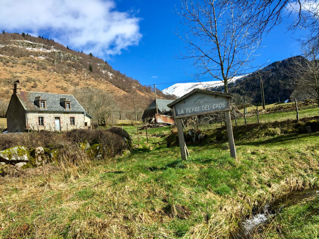
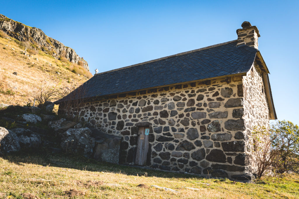
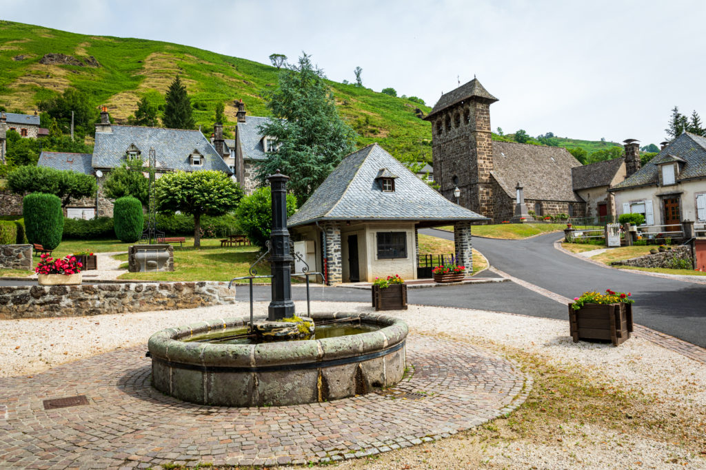
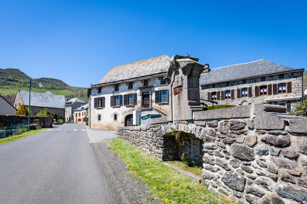
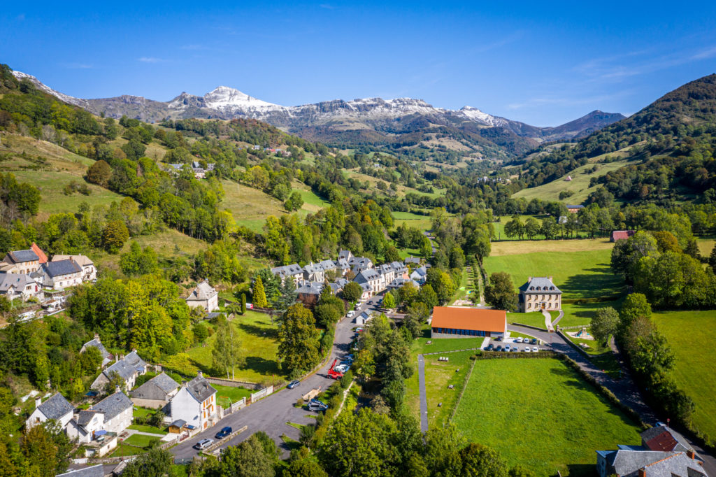
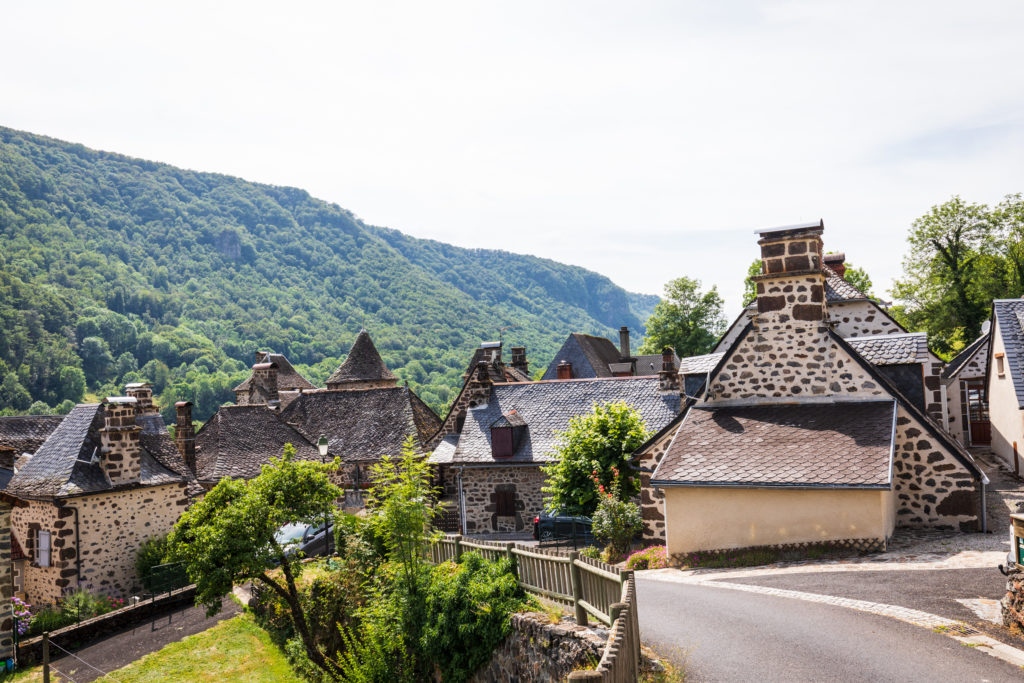
The habitat in the mountains, the witness of ancient agricultural activity, is characterized by a modest house which nevertheless presents a remarkable architectural quality (black basalt walls, slate roof…). This habitat generally consists of a single room with a large chimney, called “cantou”.
The farmhouse block is also a typical rural building of the Cantalien Massif. Under the same roof are grouped together with the dwelling and the agricultural outbuildings. It is characterized by thick walls and sloping roofs well adapted to the winter climate. It was much later that the improvement in the standard of living led to the construction of houses with separate outbuildings. Thus, barns and stables were gradually separated from the living space and the number of rooms in the dwelling increased. The Site House of Dienne, a traditional former block farm, is a perfect example of this from an architectural point of view.
Discover the communes and valleys of the Puy Mary…
Aspre, Bertrande and Maronne valleys
On the western flank of Puy Violent, the valleys of the Maronne, Aspre and Bertrande open the road to Salers, a remarkable medieval village classified as “Most beautiful village in France”.
Altitude : 689m-1642m
Inhabitants: 105 inhabitants
Surface area: 36,57 km²
Monts du Cantal: Puy Violent, Roc des ombres
Heritage:
- Buron of roc de Labro
- The Burons of Salers
- St. Paul’s Church of the XIIᵉ century, listed in the inventory of historical monuments in 2003
- Sensitive Natural Space of Récusset, with two interpretation trails
- Le Cayre at Le Couderc from the 14th to the XVIIIᵉ century, the Couderc state-owned house, listed as a national heritage site by the Fondation du Patrimoine, the French heritage label for old French houses.
Altitude: 720m-1736m
Inhabitants: 138 inhabitants
Surface area: 36,32 km²
Monts du Cantal : Puy Chavaroche, Puy de Bassierou, Roche Taillade
Heritage: Church of St. Roch from the XVIIIᵉ century.
Impradine and Santoire valleys
The village of Dienne appears very clearly as the gateway to the Impradine and Santoire valleys in the Puy Mary massif (10 km from Murat and 12 km from Puy Mary).
Indeed, although the valley describes a wide geographical curve downstream from the commune, it is only at the level of the village that it rises again to finally set course for Puy Mary. Lavigerie will be your last stop before entering the listed site of the Monts du Cantal.
Altitude: 1015m-1561m
Inhabitants: 273 inhabitants
Surface area: 46,33 km²
Monts du Cantal : plateau du Limon
Heritage :
- The church of Saint-Cirgues: Romanesque church from the XIIᵉ century. It has been classified as a historical monument since 1944.
- The Château de la Cheyrelle, included in the supplementary inventory of historical monuments in 1994 and listed in 2006.
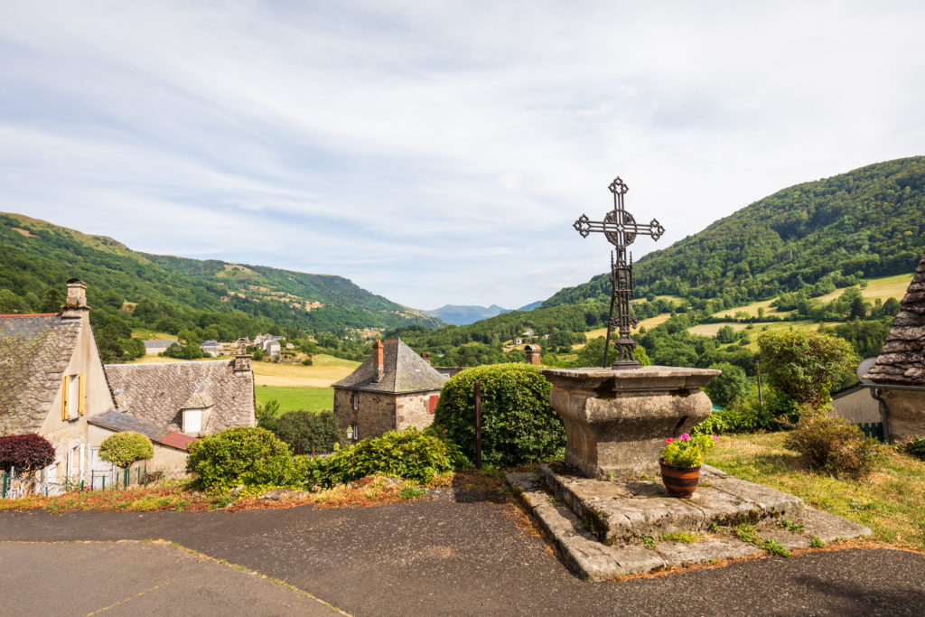
- The cross of Dienne is a cemetery cross and dates from the XVIᵉ century, classified as a historic monument since 1983.
- The church of Saint-Roch de Fortuniès is a church of the XIVᵉ century, listed as a historical monument since 1993.
- Site House installed in a former block farm.
- The mill of Drils has been listed as a historical monument since 2003.
- The rock of Laqueuille dominates the village of Dienne. On this site once stood a temple dedicated to the Roman goddess Diana.
- Les Quiroux, a path on the Limon plateau, leading from Dienne to Cheylade. The path follows a path dotted with 181 basalt stones erected every twenty meters to avoid getting lost in bad weather and whose origins date back to the Middle Ages or the Celts.
Jordanne valley
The Jordanne rises between the Peyre Arse and Bataillouse on the first south-western slopes of the Col de Cabre, in the opposite direction to the Impradine and Santoire valleys.
Between Aurillac and Velzic, the bottom of the valley is perfectly flat. Suddenly, from Lascelle onwards, the valley floor narrows: the valley closes in entirely to adopt a mountain profile in a “V” shape, with gorges, which it will keep until Puy Mary.
For a long time, this valley remained isolated, the road over the mountain barrier having only been opened in 1937 and giving impetus to tourism.
Altitude : 708m-1337m
Inhabitants : 299 inhabitants
Surface area : 19,1 km²
Heritage :
- The church Saint-Rémi of the XIIᵉ century registered as a historical monument in 1930.
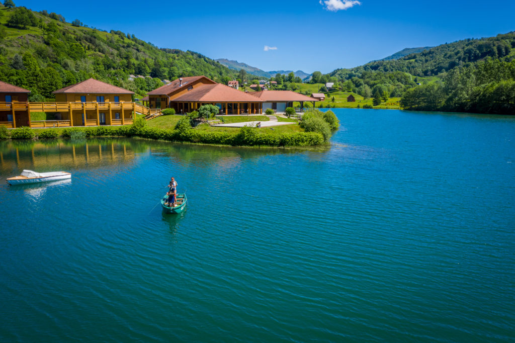
- The Graves Lake is an old 9-hectare gravel pit that was put into the water at the beginning of the 2000s. It has an average depth of 15 meters, with two pits 25 meters in the middle of the lake.
Altitude: 837m-1780m
Inhabitants: 187 inhabitants
Demonym: Mandailles : « Mandaîllards » Saint-Julien-de-Jordane « pèquà Lune »
Surface area: 35,37 km²
Monts du Cantal: Corpou Sauvage, l’Elancèze, Griounou, Puy Bataillouse, Puy Chavaroche, Puy Griou, Puy de Peyre-Arse, Puy Mary, Puy de l’Usclade
Heritage:
- Barriade of Rudez: houses clinging to the mountainside so as not to encroach on the pastures are glued together to better face the winter.
- Saint Lawrence Church of XVᵉ century and completely rebuilt between 1891 and 1893.
- Site House of Mandailles-Saint-Julien in the former « castle of Cheylus »
- Ironwork in Larmandie
- Mineral spring at the Curadit, exploited at the beginning of the 21st century (private property)
- Pleine Nature Resort
Altitude: 733m-1520m
Inhabitants: 137 inhabitants
Surface area: 16,24 km²
Monts du Cantal: Puy de Bassierou
Heritage:
- Saint-Cyr-et-Sainte-Juliette church, dating from the XIIᵉ century, listed in the Supplementary Inventory of Historic Monuments in 1986.
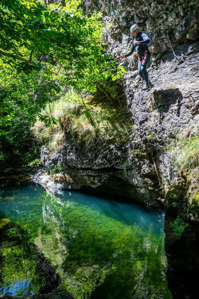
- Gorges de la Jordanne
Mars valley
Starting from the western flank of Puy Mary, the Mars valley is deep and densely wooded. From the Gorges de Saint-Vincent-de-Salers, it widens to take on a trough-shaped valley profile. The relief is smoothed out, leaving bocage that can be found in all the valleys of the Puy Mary Massif.
Altitude: 813m-1780m
Inhabitants: 120 inhabitants
Demonym: Fougouniers, Fougounières
Surface area: 30,59 km²
Monts du Cantal: Puy de la Tourte, Puy Mary, Roc d’Hozières, Roc des ombres, Roche Taillade, Suc de la Blatte, Suc Gros ou le Peylat
Heritage:
- Saint-Germain Church of the XVᵉ century
- The lantern of the dead
- Site House of Falgoux
Altitude: 575m-1264m
Inhabitants: 66 habitants
Surface area: 18,87 km²
Heritage:
- Saint-Vincent Church of the XIIIᵉ century
- Castle of Borie of XVᵉ century
- Castle of Chanterelle of the XVIIᵉ century
- Henri IV bridge of the XVᵉ century
- Vestiges of Cotteughes, classified as a Historic Monument in 1924. The “huts” of Cotteughes are dry stone structures corresponding to semi-buried houses. They have resisted the ravages of time. Known to the inhabitants, they have been the subject of legends and various interpretations. Sometimes Gallic ruins, sometimes a medieval village, it was not until 1990 that serious archaeological studies allowed us to understand the nature of these remains. They are the remains of a village occupied at least since the year 1000 and abandoned at the end of the XIVᵉ century.
Petite Rhue valley
Geographers refer to the Petite Rhue as the Petite Rhue, the river in the Cheylade valley which receives the Véronne and flows into the Grande Rhue.
A pinch in the relief at the height of the ruins of the Apchon castle marks the split in the valley which, wooded and deepened downstream, widens and softens to allow the bocage to settle and replace the forest in its upstream part.
Altitude: 914m-1490m
Inhabitants: 225 habitants
Demonym: Cheyladais, Cheyladaises
Surface area: 32,81 km²
Monts du Cantal: Plateau du Limon
Heritage:
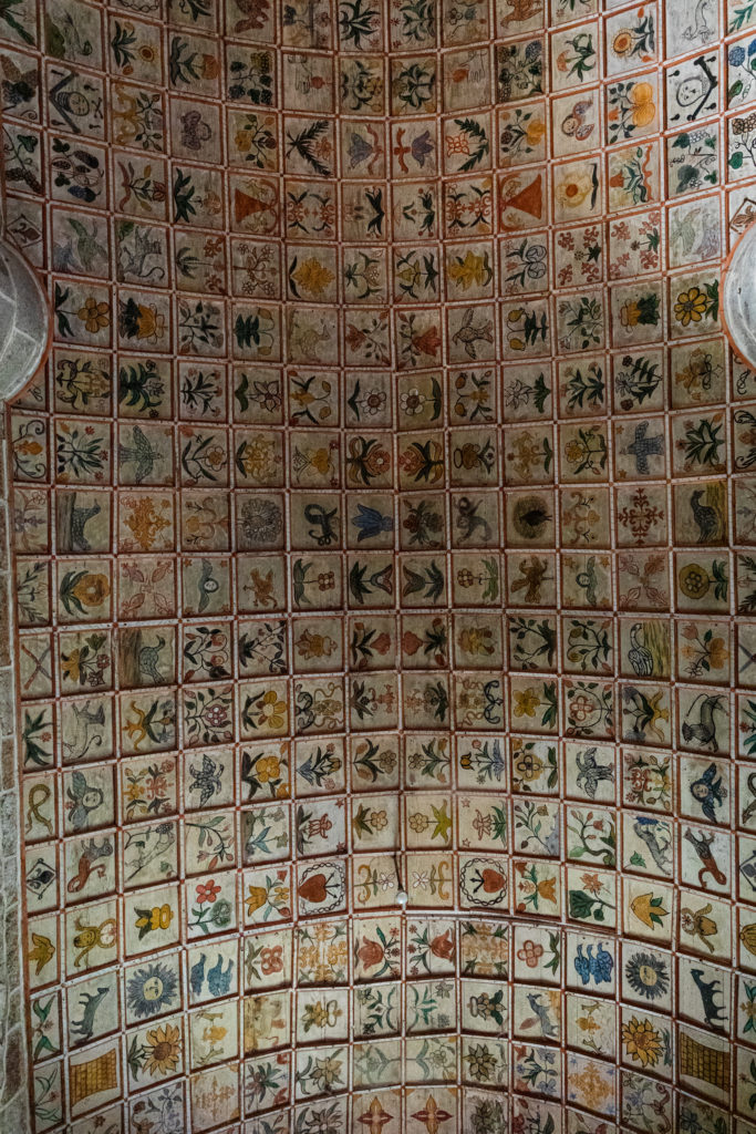
- Saint-Léger church of the XIIᵉ century, classified as a historical monument in 1963. The church has a wooden coffered ceiling composed of 1,360 squares painted with polychrome motifs.
- Lake of the waterfalls
- Les Quiroux, the path on the Limon plateau, leading from Dienne to Cheylade. The path follows a path dotted with 181 basalt stones erected every twenty meters to avoid getting lost in bad weather and whose origins date back to the Middle Ages or the Celts.
Altitude: 994m-1780m
Inhabitants: 181 inhabitants
Surface area: 28,07 km²
Monts du Cantal: Puy de la Tourte, Puy de Niermont, Puy Mary, Suc de la Blatte, Suc Gros or le Peylat
Heritage:
- Lapeyre Troglodyte Oven
- Site House of Claux
